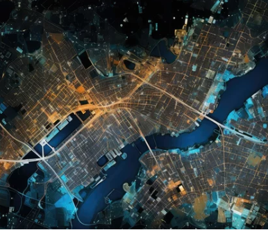
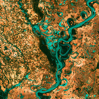
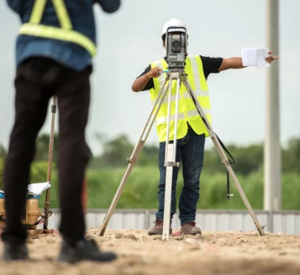
BUANNEL GEO SOLUTION & SERVICES

Empowering Decisions Through Geospatial Innovation

Comprehensive Solutions in Geographic Information System (GIS), Software & Apps Development, Land Survey,
Remote Sensing, Drone Survey & Mapping, Artificial Intelligence (AI)and Beyond...

ABOUT US

Buannel Geo Solution & Services (BGSS), established in 2008 and empanelled by the Government of Mizoram, India, is a leading Information Technology and Services firm specializing in Geo-spatial solutions. We offer expertise in GIS, Remote Sensing, Drone Survey and Mapping, 3D Modelling and Mapping, Digital Twin, Software and App Development, and Spatial Decision Support Systems.

Backed by a team of highly skilled professionals, engineers, and technicians, BGSS delivers innovative, cost-effective, and timely solutions that meet international standards. Our mission is to integrate Geo-spatial technology across all sectors, empowering society and driving economic growth locally, nationally, and globally. With flexible workflows and a commitment to quality, we ensure efficient service delivery for all your Geo-spatial and IT needs.
Read More

SERVICES

Expertise Services List
image
GIS Geographic Information System based services include geospatial data analysis, mapping, spatial modeling, and data visualization. These services enable location-based decision-making, urban planning, environmental management, infrastructure development, and market analysis by leveraging geographic data and advanced software tools.
image
Software Development Designing, coding, testing, and maintaining applications tailored to client needs. These services include web, mobile, and desktop solutions, ensuring efficient workflows, scalability, security, and user-friendly interfaces for businesses and individuals across diverse industries. We particularly specializesin location based Software and Systems, which is exceptional in today's economy.
image
Remote Sensing
Involves collecting and analyzing data from satellite or aerial sensors to monitor Earth's surface. Applications include land use mapping, environmental monitoring, disaster management, agriculture, and urban planning, offering valuable insights through advanced imagery and geospatial analysis.
image
3D Terrain Modelling Create detailed digital representations of landscapes using geospatial data. Applications include urban planning, infrastructure design, environmental analysis, and virtual simulations, enabling accurate visualization, elevation analysis, and decision-making for diverse engineering and geographic projects.
image
City Modelling Produce detailed, realistic digital representations of urban areas. These models support urban planning, architecture, smart city initiatives, and virtual simulations, offering enhanced visualization, spatial analysis, and interactive tools for informed decision-making and project development.
image
Drone Survey & Mapping UAVs / Drones equipped with sensors to capture high-resolution aerial data. Applications include topographic mapping, terrain modelling, 3d house modelling, construction monitoring, agriculture, and infrastructure inspection, delivering accurate, cost-effective, and efficient geospatial insights for diverse industries.
image
Topo / Land Survey Topographic/land survey services includes precise measurements of land features, including elevations, boundaries, and natural or man-made structures. These surveys support construction, land development, engineering, and environmental projects, ensuring accurate planning and compliance with regulatory requirements.
image
Geographical AI Geographical AI services integrate artificial intelligence with geospatial data to analyze patterns, predict trends, and automate processes. Applications include urban planning, disaster response, environmental monitoring, and resource management, enabling smarter, data-driven decisions for complex geographical challenges.
image
Decision Support Systems Geographic-based Decision Support Systems (DSS) integrate geospatial data, advanced analytics, and visualization tools to aid decision-making. Applications include urban planning, disaster management, logistics, and resource allocation, enabling stakeholders to analyze spatial relationships and optimize outcomes effectively.

Contact

Mobile: +91 873097814 / +91 9436144065

Address: Zonuam, Aizawl, Mizoram - India 796009

Email: contact@buannelgeosolution.com